Skip to content ↓

Geography

The school's 'Champion' for geography is Miss Sophie Peers.

Frequency of sessions: This will change depending on the topic being studied, but will largely average out as one session a week. In some topics the main focus will be geography and therefore there will be a high focus on geographical skills. In other topics, there might not be a geographical focus. Geography is covered through the IPC schemes of work and where appropriate, cross-curricular links are made within literacy, history, art, DT, music and science. Our aim is to deliver a high-quality geography education, which stimulates pupils' thinking about the world and its people. Teaching equips pupils with knowledge about diverse places, people, resources and natural and human environments, together with the Earth’s key physical and human processes. As our pupils progress, they will deepen their understanding of the interaction between physical and human processes, and of the formation and use of landscapes and environments.

Pupils will develop contextual knowledge of the location of places, seas and oceans, including their defining physical and human characteristics, understand the processes that give rise to key physical and human geographical features of the world and learn how these are interdependent and how they bring about spatial variation and change over time.

In addition to this, pupils will collect, analyse and communicate with a range of data gathered through experiences of fieldwork that deepen their understanding of geographical processes, interpret a range of sources of geographical information, including maps, diagrams, globes, aerial photographs and Geographical Information Systems (GIS) and communicate geographical information in a variety of ways, including through maps and writing at length.

In Key Stage 1, focus includes:

Being able to name and locate the world’s seven continents and five oceans and identify characteristics of the four countries and capital cities of the United Kingdom and its surrounding seas. Understand geographical similarities and differences through studying the human and physical geography of a small area of the United Kingdom, and of a small area in a contrasting non-European country.

Identify seasonal and daily weather patterns in the United Kingdom and the location of hot and cold areas of the world in relation to the Equator and the North and South Poles. Emphasis on basic geographical vocabulary is paramount. Basic use of world maps, atlases and globes to identify the United Kingdom and its countries, as well as the countries, continents and oceans studied at this key stage.

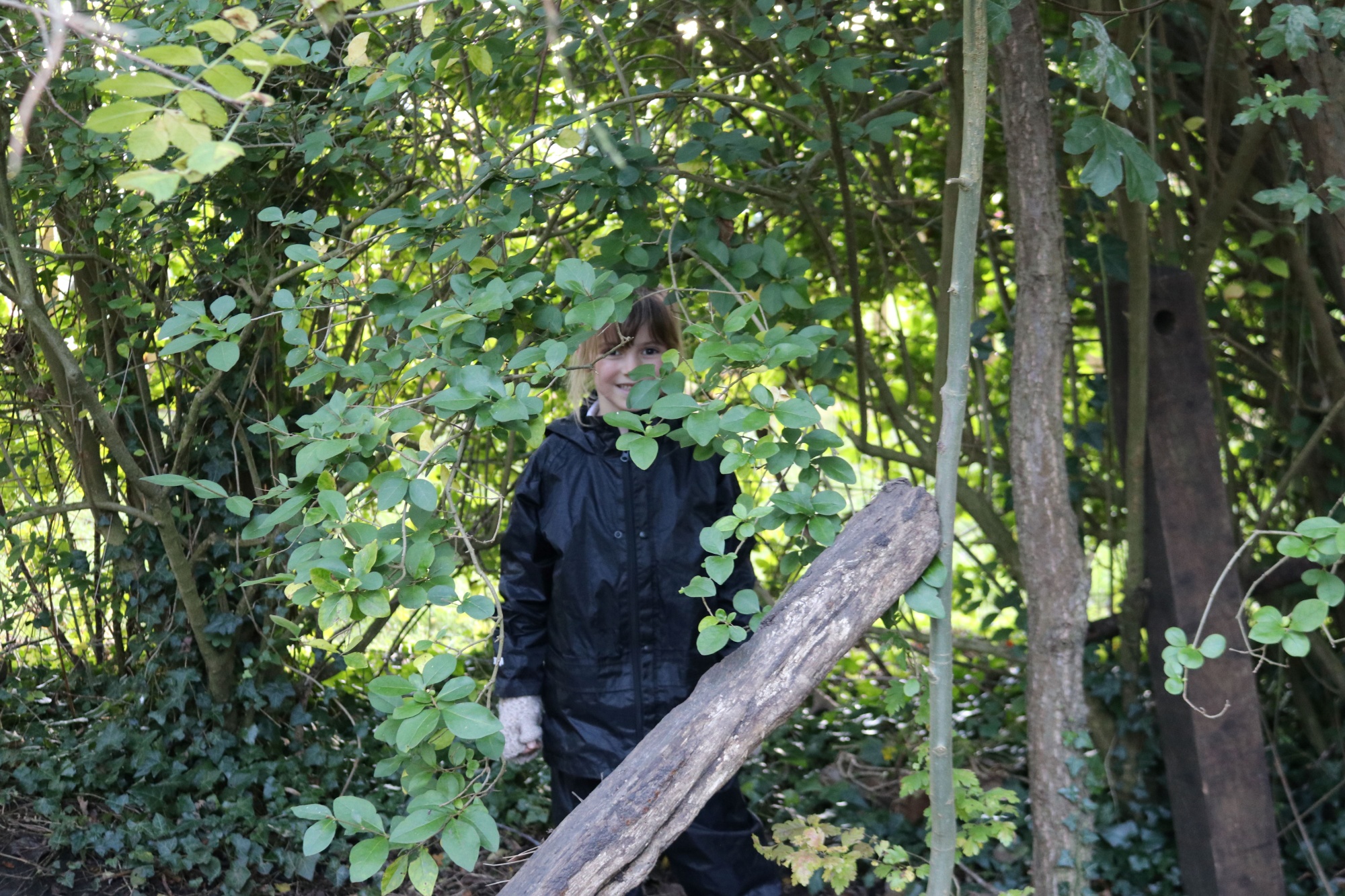
Use simple fieldwork and observational skills to study the geography of their school and its grounds and the key human and physical features of its surrounding environment.

In Key Stage 2, geography focuses include:

Locating the world’s countries, using maps to focus on Europe, concentrating on their environmental regions, key physical and human characteristics, countries, and major cities. Being able to name and locate counties and cities of the United Kingdom, geographical regions and their identifying human and physical characteristics, key topographical features (including hills, mountains, coasts and rivers), and land-use patterns; and understand how some of these aspects have changed over time.

Position and significance of latitude, longitude, Equator, Northern Hemisphere, Southern Hemisphere, the Tropics of Cancer and Capricorn, Arctic and Antarctic Circle, the Prime/Greenwich Meridian and time zones (including day and night) should also be covered.

Describe and understand key aspects of: physical geography, including climate zones, biomes and vegetation belts, rivers, mountains, volcanoes and earthquakes, and the water cycle. KS2 should be able to confidently Use maps, atlases, globes and digital/computer mapping to locate countries and describe features studied and use the eight points of a compass, four and six-figure grid references, symbols and key to build their knowledge of the United Kingdom and the wider world.

For further information about the national curriculum guidance for geography.

Frequently Asked Questions

1. What decisions have been made about the geography curriculum?

The International Primary Curriculum (IPC) was chosen for the school in 2016 based on our local context and school make up. With a high white British cohort (currently 84%), it is important for us to provide a rich and diverse curriculum that ensures that are children are well-prepared for the world beyond Deanshanger and are increasingly aware of other countries, cultures and religions. Developing cultural capital and constantly pushing aspirations are very important.

Due to the high white British cohort and limited intake of EAL children, the International Primary Curriculum for Geography ensures that children are aware of life outside Deanshanger. It offers a breadth of understanding, skills and knowledge of Geography across the world which they can compare to their own immediate locality. As a result, this ensures that children develop aspiration and cultural capital. This is why the International Primary Curriculum is right for the children at our school.

2. How has the subject curriculum been adapted to meet our needs at Deanshanger?

Everything in our curriculum is supported and underpinned by our school values. The International Primary Curriculum is National Curriculum plus, covering all requirements of the National Curriculum and more. The geography curriculum ensures that it builds upon prior knowledge and takes learning forward in each year or phase. This will ultimately ensure that pupils in Year 6 leave primary school with secure geographical knowledge, skills and understanding to use as a basis to build upon in secondary school. It will ensure that children have secure locational knowledge and as a result, will ensure that children develop cultural capital and aspiration to explore and visit the world beyond Deanshanger.

3. How do we know that the geography curriculum is working?

Geography Elevation groups are a form of assessment to monitor the progress in geography in each year group and across the school. The geography curriculum ensures that progress is taking place from year group to year group as it builds upon prior learning. Skills, knowledge and understanding are applied during geography lessons, buddy share sessions, house events and elevation groups. Geography end-of-unit self-assessments completed by pupils also demonstrate progress over the unit. Children’s progress and attainment is measured through the use of rubrics, geography walks, exit points, book looks, summative assessment during lessons, geography elevation groups and self-assessment sheets at the end of units. Monitoring tells me that children have made an incredible amount of progress in geography over the past year. This was evident in the geography walk, geography elevation group and book look. Children are now more able to talk about their learning in geography, many children are able to do this with confidence and are passionate when sharing knowledge, skills and understanding. Local walks around the village support children when learning about geography. Visits to geographical places of study such as the Transport Museum and Irthlingborough support children with their learning during specific IPC units. Visitors or Virtual trips such as Zoom calls with other countries take place (Year 4 Ethiopia). This also supports children with their learning in geography.

4. What has been the impact of lockdown etc on the subject, and what examples can you share about the subject and its remote delivery?

Throughout lockdown, teachers continued to teach a broad curriculum and all subjects continued to be covered. However, there will be gaps in children’s knowledge, skills and understanding due to the level of support they received during online lessons, how much of the work they completed at home and how many online lessons they attended. This is why entry points and Knowledge Harvests are crucial when starting a new topic to assess what knowledge, skills and understanding the children have or don’t have that has been previously taught. During Lockdown the children were able to continue their geography learning from home as they were able to research topographical features about volcanoes, for example, in the unit ‘Active Planet’. Children were challenged to use things from around their home to create their very own volcano which they then shared with the rest of the class on Zoom. The whole class then were given the opportunity to erupt their volcano using coke and mentos.

5. What are the strengths of the geography curriculum?

Children have made a lot of progress with the knowledge, skills and understanding in Geography over the last three academic years. This was evident during the last two geography elevation groups where children were able to verbalise their learning in geography during a current IPC unit or recall prior learning from a previous IPC unit. The learning environments are a strength through the school with each year group modelling strong geography displays and ensuring each area has geography resources, such as, a world map, map of the UK and globe. Again, children were able to talk about these during the geography elevation group which demonstrates that they are being referred to or used during lessons.

6. How does the geography champion lead professional development, provide guidance and support colleagues?

After the geography walk and geography elevation, I shared with staff strengths and next steps feeding back to the team during a staff meeting or individually. I have also asked the staff if they would like any training for areas they feel less confident to teach geography. No one has asked for any training yet. Staff have access to the IPC pinboard which offers ideas to teach a unit of work with pictures, examples of work and video calls. This has recently taken place in Year 4 when they arranged a video call with Ethiopia. Staff can also add their own pictures, examples of work and videos to the pinboard.

7. How is geography resourced?

Every classroom and or shared area has a world map, a map of the United Kingdom and a globe. These are referred to during geography or IPC lessons. These were put in place after a previous geography elevation group as it was evident that children did not have enough resources that they knew of or could access. These resources were bought to improve teaching and learning in geography and to ensure locational knowledge is supported consistently across the school.

8. What will outside visitors see if they focus on geography?

External visitors will see quality first teaching from every member of staff across the school. The lessons will be based on the tasks in the International Primary Curriculum and can take place in the classroom or outside for example a scavenger hunt around the field during the IPC unit, Scavengers and Settlers. I also expect that they will see children engaged with learning during geography lessons who are able to talk about their learning within the lesson or prior learning to demonstrate progress. I expect visitors to see resources being utilised in all areas, good quality displays, high-quality geography work in books or on tapestry and children that are able to talk about the subject. I expect visitors to see examples of cross-curricular work, for example, a newspaper report about the gold found in Varna Necropolis. Visitors should see a progression of knowledge, skills and understanding of Geography across the school.

9. What do you expect that Ofsted will see when they focus on the subject?

I expect Ofsted will see quality first teaching from every member of staff across the school. The lessons will be based on the tasks in the International Primary Curriculum and can take place in the classroom or outside for example a scavenger hunt around the field during the IPC unit, Scavengers and Settlers. I also expect that they will see children engaged with learning during geography lessons who are able to talk about their learning within the lesson or prior learning to demonstrate progress. I expect visitors to see resources being utilised in all areas, good quality displays, high-quality geography work in books or on tapestry and children that are able to talk about the subject. I expect visitors to see examples of cross-curricular work, for example, a newspaper report about the gold found in Varna Necropolis. Visitors should see a progression of knowledge, skills and understanding of Geography across the school.

SEND / PP / Gifted and Talented -

Gifted and Talented children are challenged in geography lessons through the use of focused questioning to develop thinking skills and reasoning.

SEND pupils are supported in geography lessons through the use of carefully selected resources, outcomes tailored around different learning styles and the teachers’ awareness of the children they are teaching.

We have used funding to buy resources such as globes for children so they have a concrete understanding of an abstract concept. Trips, visits and exploring the environment provide children with valuable opportunities and ensure the development of children’s geographical understanding.